Lego Map: Travelling Japan

Lego Travel Map

Konnichiwa! November 1st 2015 is the date I kissed my fiancée goodbye and flew across the world to the coastal city of Kobe, Japan for a six month work assignment. It was here I built all the flowers for our Lego themed wedding, but also where I took the opportunity to explore, learn and embrace the culture of Japan.

I travelled the country end to end, experiencing something new every weekend. Travelling by plane, shinkansen, intercity train and on foot, I explored many of Japan’s ancient shrines, temples and castles. I gained a taste for okonomiyaki, sushi and rahman, whilst drinking my way through a lot of sake, whiskey and 80+ different Japanese beers! I fed monkeys in Arashiyama, met the deer of Nara and visited a cat cafe in Tokyo. I also completed some of Japan’s more unusual experiences by visiting Tokyo’s robot restaurant, played pachinko and climbed a mountain to relax naked within an onsen. I achieved a lot in 6 months, yet only managed to learn 14 words!

Lego Japan & Korea

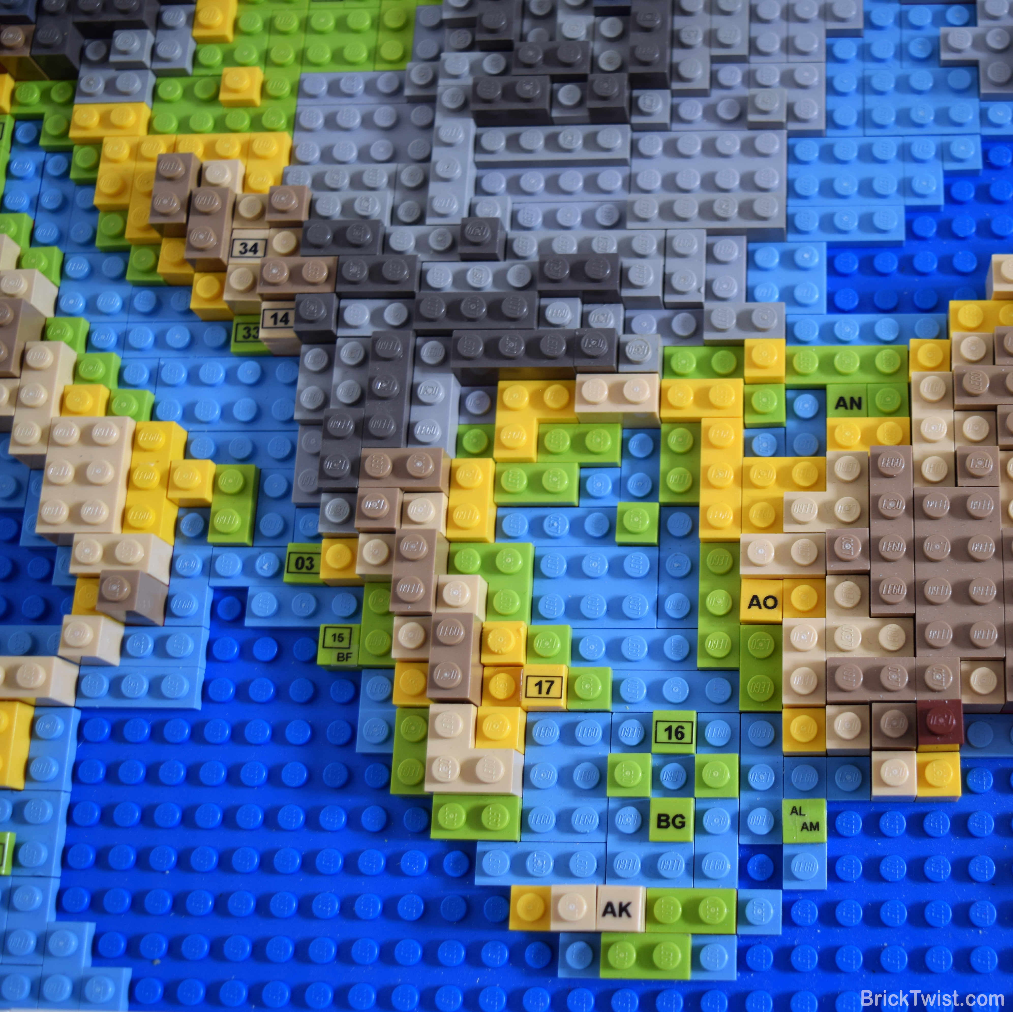
Documenting my travels over those was realised through the creation of my custom designed and built Travel Map of Japan! Built four years after my adventure, the Lego map of Japan is the sequel to my European Lego map. It leverages the same terrain heights and colours as the European version, but is smaller at 48 by 48 studs and consists of roughly 1500 Lego bricks.

I visited 11 cities/ towns whilst living in Japan. Each city/ town is highlighted on the map by a number, which has an associated label around the maps frame.

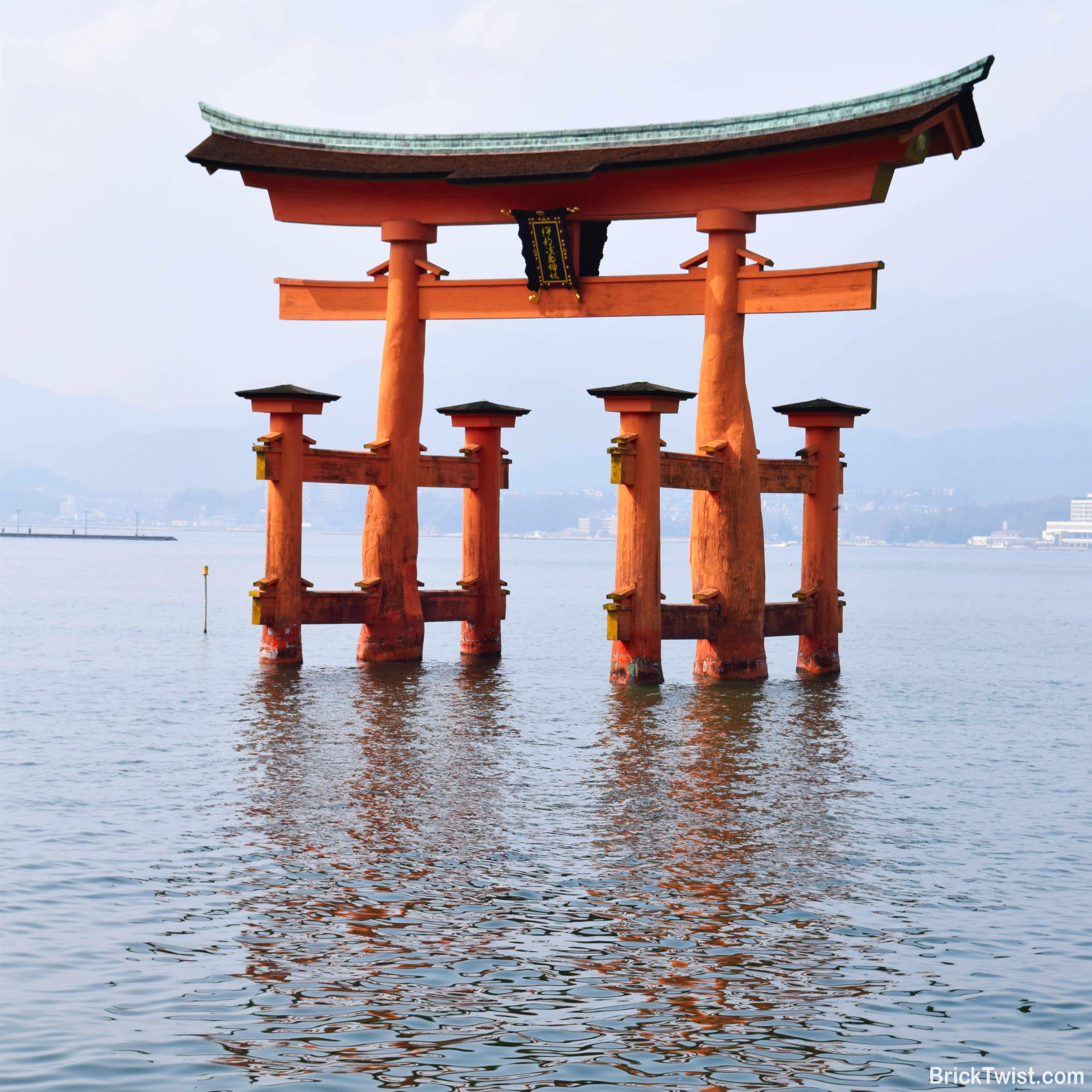
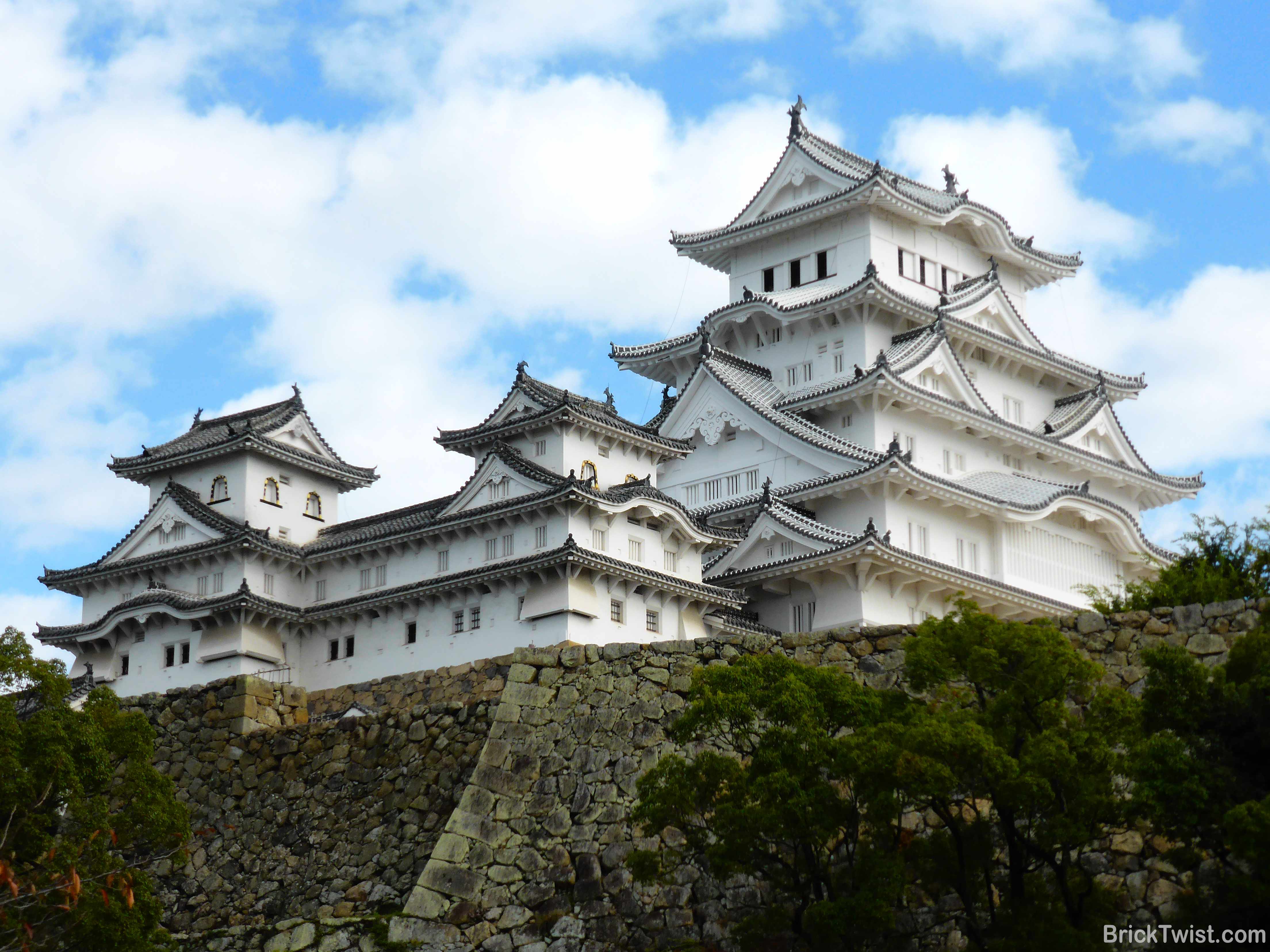
I visited each of Japan’s three largest islands. Honshu is the largest island, and where my new home city of Kobe (19) was situated. The cities of Kyoto (22), Osaka (21), Nara (30), Himiji (20), Okayama (27) and Hiroshima (28) were all close by so spent a lot of my weekends exploring, eating and drinking here! Tokyo (23) was accessible via a three hour Shinkansen (bullet train) to the east of island, where I visited the famous Shibuya Crossing, Skytree Tower and the technology district of Akihabara. I also spent time in the small north coastal town of Kasumi (31) where I ate a ton of crab!

Japan’s northern island of Hokkaido, is home to the city of Sapporo (24). The cities annual Snow Festival was on during my visit, so saw hundreds of snow and ice sculptures and snow sport events. My last trip was to the south island of Kyushu, where I visited the city of Kumamoto (29) just before the 2016 earthquake shuck the city.

Whilst living in Kobe I also visited South Korea and China as they were just a short flight across the sea. I visited South Korea’s capital Seoul (25) over a weekend, visiting a war museum, eating a Korean BBQ and exploring the local markets.

A small bit of China is visible but given the huge size of the country, I will look to build a separate dedicated map in the future.

Hope you enjoyed by Lego travel map of Japan and Korea. Sayōnara!

Lego Map Europe Feature Image

Lego Map: Exploring Europe Brick by Brick

Lego Travel Map

I have been lucky enough to have travelled around the world on business and for pleasure. I have photos, magnets and a world travel map of the places I have visited around the house. The travel map above our bed was great until it fell off the wall onto my wife’s head whilst we slept one night! Faded, crumpled and now on the floor, I decided to build a new travel map out of Lego!

Introducing my Lego Map of Europe! The map uses coloured Lego bricks to highlight the countries my wife and I have visited. I used grey bricks to illustrate the countries we were yet to explore. A key documents terrain elevation in metres and feet, from the sea floor to the tallest mountain. The map measures at 65 x 65 cm (82 x 82 studs) and it’s tallest point (the Alps) is 2.4 cm tall. It’s my biggest build since my Lego wedding, at an estimated total of 5000 Lego bricks used!

Making the map personal and unique to my wife and I was important, so wanted to go a step further. When we visit a new city or town, I include a two letter/ numerical code (e.g. 00/ XX) to it’s location on the map. The code then links to a flag, country and city/ town name on the maps frame. The codes are categorised to a visit by me (Mark), my wife (Lynn) or both of us as illustrated by the image below.

Whilst travelling is fun, home is also important. I used a flag symbol to highlight our home in the UK. I also decided not to document every city we have visited in the UK, otherwise this build would never have finished 🙂

As the top of the African continent was going to be visible, Morocco and Tunisia were also included. l will be adding additional countries from outside of Europe in the coming months. Europe is the first part of my large Lego map puzzle! More details on that at the end of this post.

Visiting a Country with Lego Bricks

Why scratch off a country when visited (like most travel maps), when you can build the country out of Lego instead!

Animation of the removal of grey bricks and adding coloured bricks when visiting a country.

Illustrated by the small video above, updating the map with a new country requires the completion of simple four steps:

  1. Remove Grey Bricks: remove all the grey bricks for new country
  2. Add Colour Bricks: add coloured bricks to match the elevation of the country
  3. Add Code Tile: add a 1 x 1 tile with printed code for visited city/ town in the correct location on the map.
  4. Update Frame: update the frame with the country name, flag and city/ town name with it’s associated code

Designing & Building Lego Europe

Building a map of Europe out of Lego took a lot longer than I had initially expected. After a lot of evenings, weekends and many orders from bricklink.com, I hung my completed map on the wall of my office. I have summarised the steps I took to designing and building my map below:

1. Digital Relief Map:Using a relief map I purchased from Shutterstock, I imported it within Inkscape (a vector image editor) and resized it. I then applied an 82 x 82 grid over map, where one square would equal a 1 x 1 Lego brick.

2. Pixelating the Digital Map: Using the Lego colour palette (https://brickset.com/colours) I painted each square with my chosen colours matching the relief of the map. I then exported the map to my iPad and marked up the different types of bricks I would need for the build.

3. Building the Lego Map: Once the map was pixelated into Lego form, I got down to building! I created the foundations of Europe with a lot of left over red plates from my Lego wedding build. Coloured and grey plates/ bricks were then added on top, as instructed by my pixelated map. Many BrickLink (https://bricklink.com) orders later, and my Lego map of Europe started to take shape!

4. Country, City/ Town and Elevation Key: Initially I was going to build my own flags out of Lego, but found I couldn’t get enough detail at the size I wanted them. Luckily I found this great sticker book: Flags of the World: Ultimate Sticker Book. The flag stickers were the perfect size for a 2 x 3 white tiles which made up the frame which I built to surround the map. A Dymo label maker was used to create the labels for the country, city/ town names which I attached to tiles on the map, frame or key.

5. Wooden Frame & Hanging: Using gorilla glue, I glued the map securely to a 5mm plywood board and attached wall fittings to the back. A few nails in the wall and my European Lego travel map build was complete!

Building the Rest of the World in Lego…

Originally the lego map included a dedicated section on the left for all the other countries my wife and I had visited outside of Europe. After three different iterations, I concluded that this section just didn’t look right so decided to remove it.

Instead I will be building new dedicated maps for: North America, Japan/ South Korea, China and a few other countries… These will be added to the wall of my office in the coming weeks and months!

I hope you like my European Lego Map. Let me know your thoughts, comments and questions. Mark!